About Stratbox

Experience the field,
whenever you want, wherever you are

Experience the field,
whenever you want,
wherever you are

Helping Earth Sciences in
​ Energy, Mining, Engineering and Academia​

Whether in academia or industry, geological field work is essential for geologists, engineers, and students whilst studying reservoir analogues. With Stratbox, you can expand on, and dramatically enhance, this vital work by bringing the field to the office and giving the option for the user to experience the advantages of virtual geological field work.

Stratbox is inclusive with its resources as it integrates satellite globe coverage, drone, LIDAR and CAD 3D models with imagery to cover kilometric to microscopic scale analysis, all within the platform. This allows the users to bring the field work for subsurface reservoir analogues back to the office and virtually share it with colleagues and partners using virtual outcrop models.

Access the impossible

icon showing the information unlocking capabilities of Stratbox, in a virtual geology field trip
‘Fly’ across virtual outcrop models to view and measure geological features from vantage points that cannot be accessed in the real world

Immerse your team in insights

icon showing that Stratbox can help increase geological understanding with data integration in a virtual geological field trip
Overlay images and integrate data from kilometric to microscopic scale. Cross-correlate at different scales, using a suite of smart tools

Collaborate globally

icon showing the capability of Stratbox for remote collaboration.

Be inclusive by getting everybody in the field, from anywhere in the world, yet reduce health and safety risks and better manage geological field work costs

Stratbox is a platform for collaborative data integration in the 3D space. Along with our proprietary virtual outcrop models, Stratbox provides access to specialised third party content. For example, the RPS global outcrop models database and virtual geological field trips focusing on reservoir analogues and their hosting sedimentary environments.

Make it your own

icon showing the personalization that users can achieve in firtual fieldtrips enhancing the geological field trip experience
You can upload your own data into Stratbox, including images, interpretations, models and videos – customising the platform to your specific needs to study reservoir analogues

Expand your toolkit

Icon indicating the toolbox capabilities to enhance geological understanding using Stratbox
Drawing, measuring and transformation tools provide new ways to augment interpretation.

AVAILABLE IN TWO KEY FORMATS

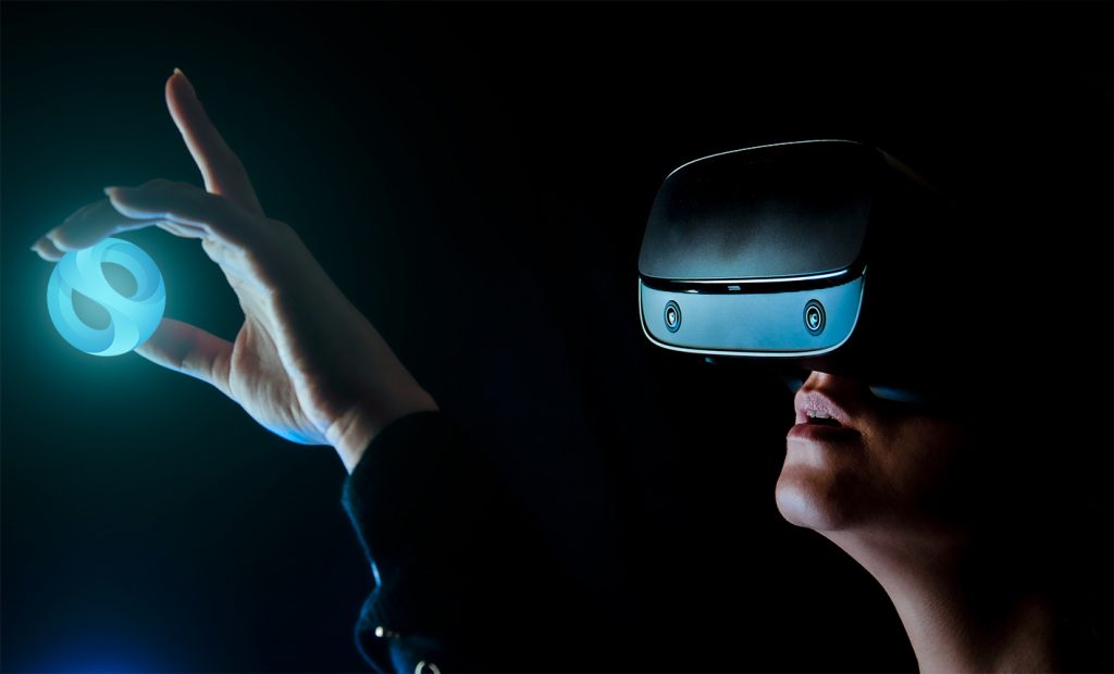
A girl experiencing virtual geology field trip in Stratbox VR and holding the Stratbox logo

VR (Virtual Reality)

Offering a fully immersive, three-dimensional experience, Stratbox VR is compatible with Oculus Rift and Quest, HTC Vive Pro and Focus 3 headsets
A laptop on a desk in dark background used for virtual geology fieldwork and remote collaboration for photogrammetric digital outcrop models

Desktop

Interact with 3D models using Windows PCs or laptops with an Intel i5® processor or equivalent and 8GB RAM.